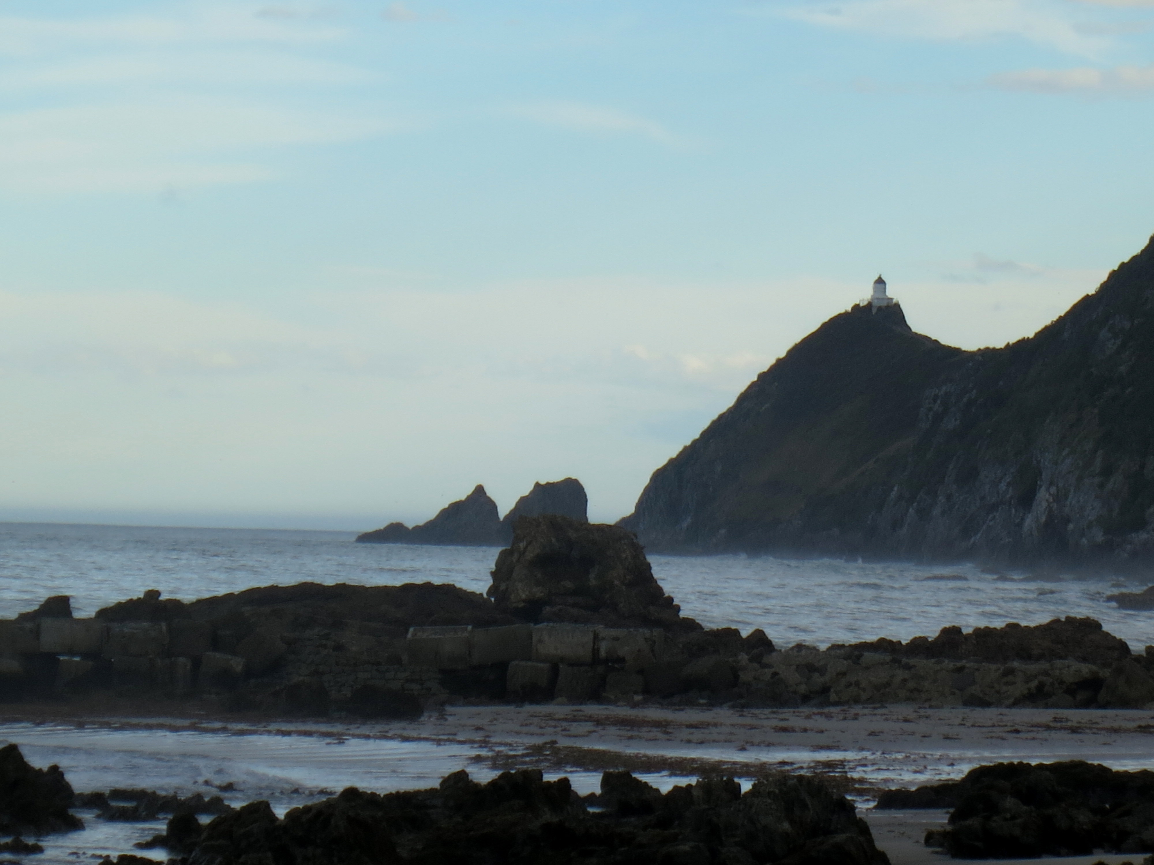
Some people count birds. Others log marathon miles. I chase waterfalls, and I saw five on my second day in the Catlins. That’s a personal record. (That’s also me plagiarizing myself from Facebook, but I liked it for a lead so here we are.)
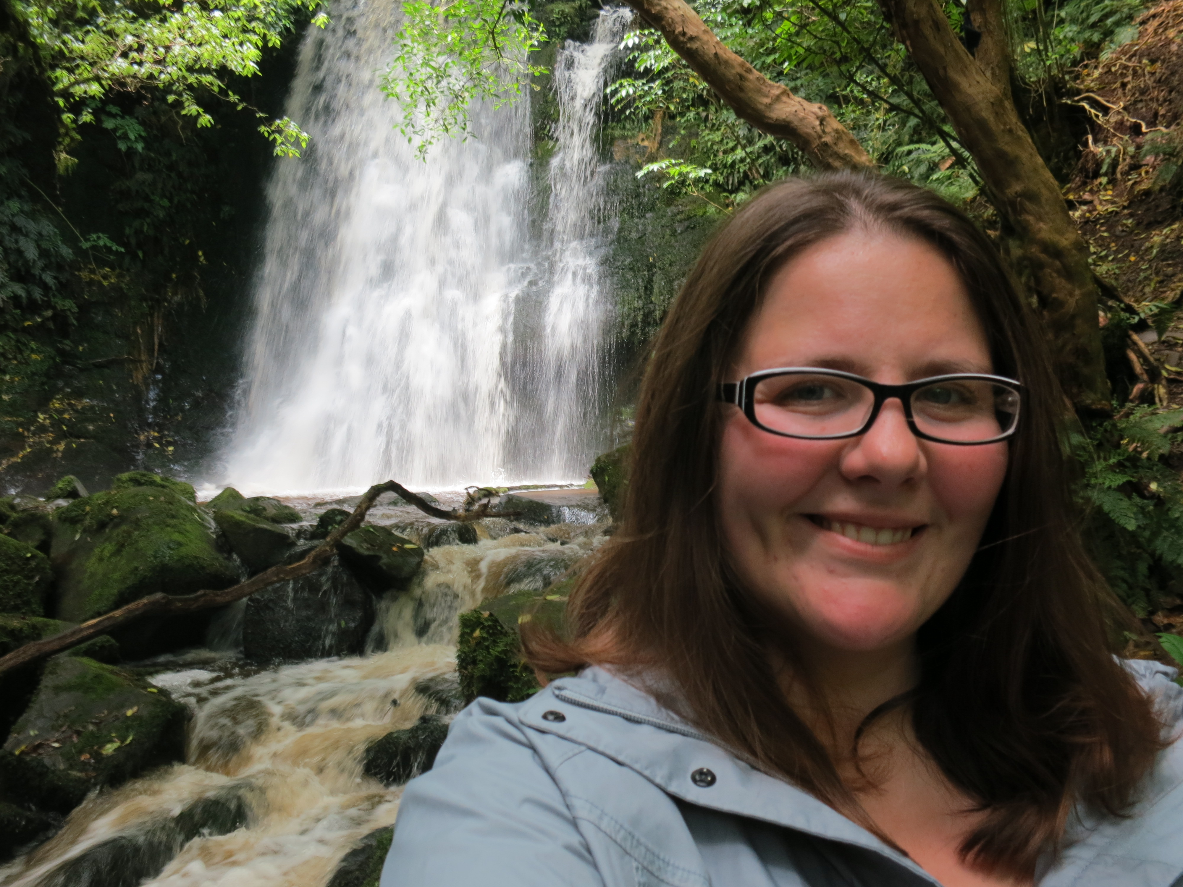
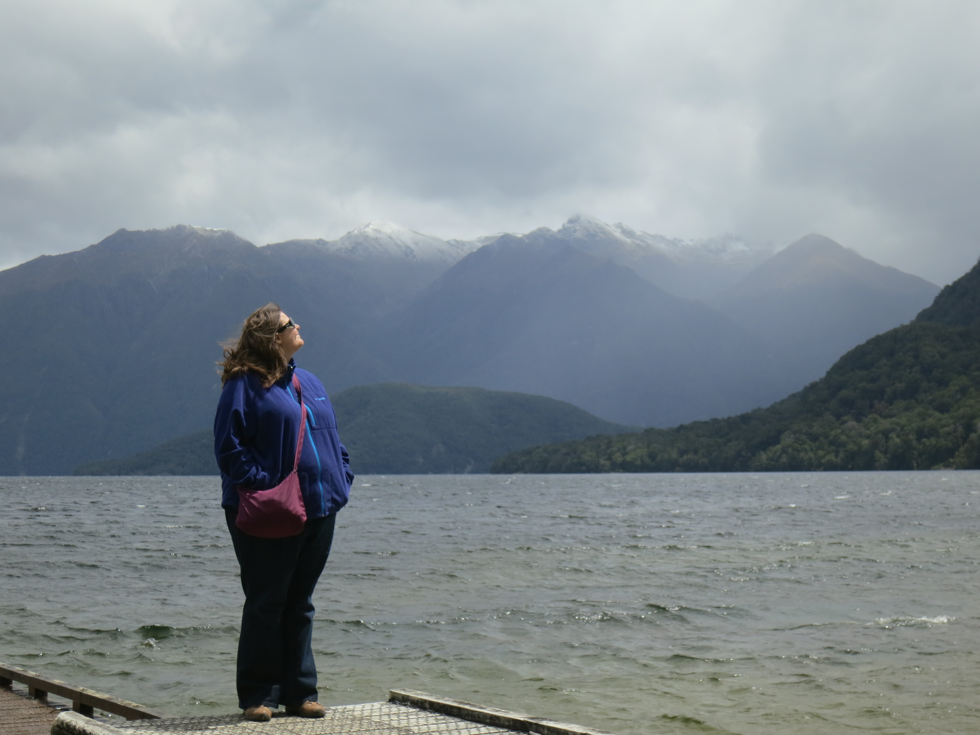
This is my “OMG waterfalls” face (at Matai Falls)
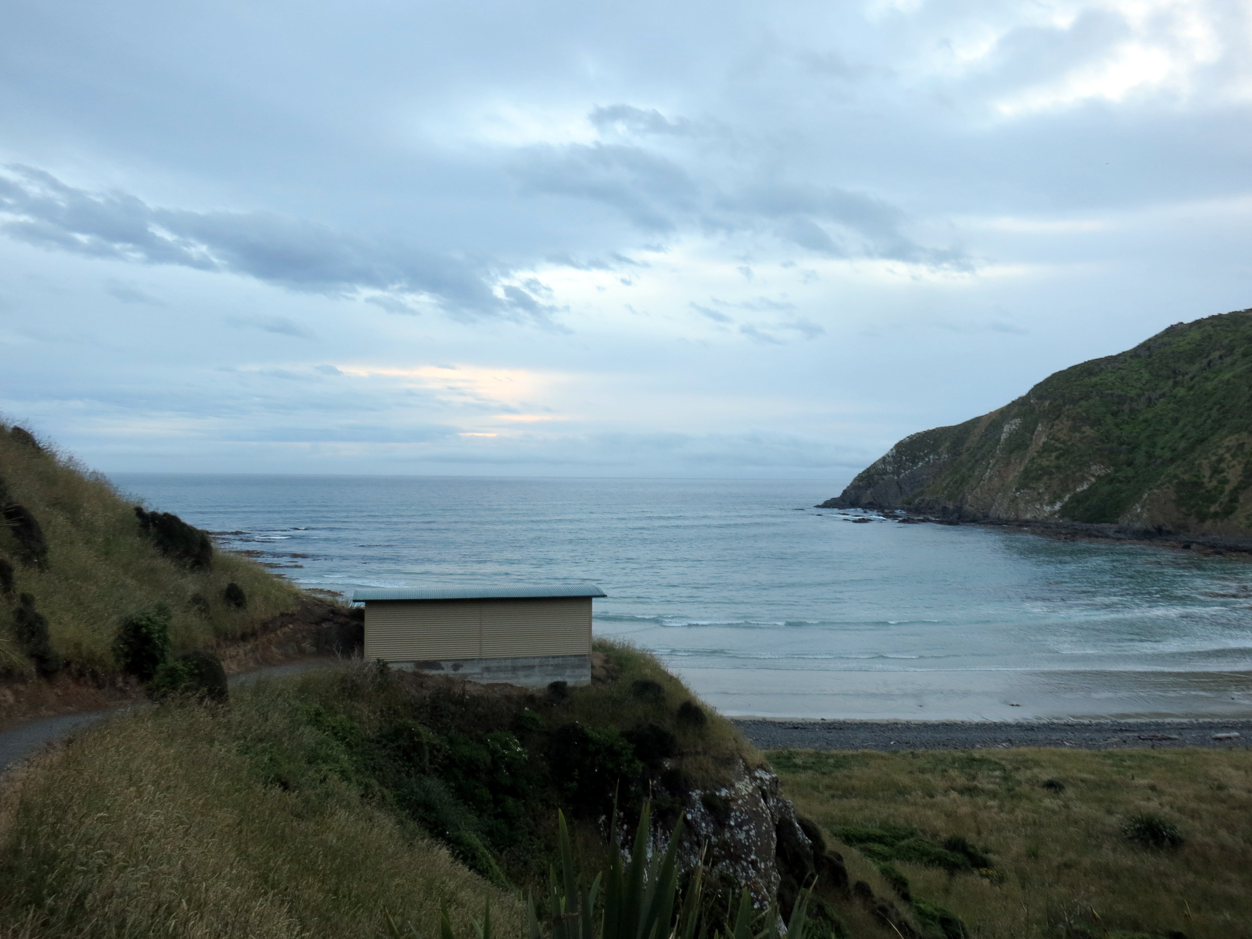
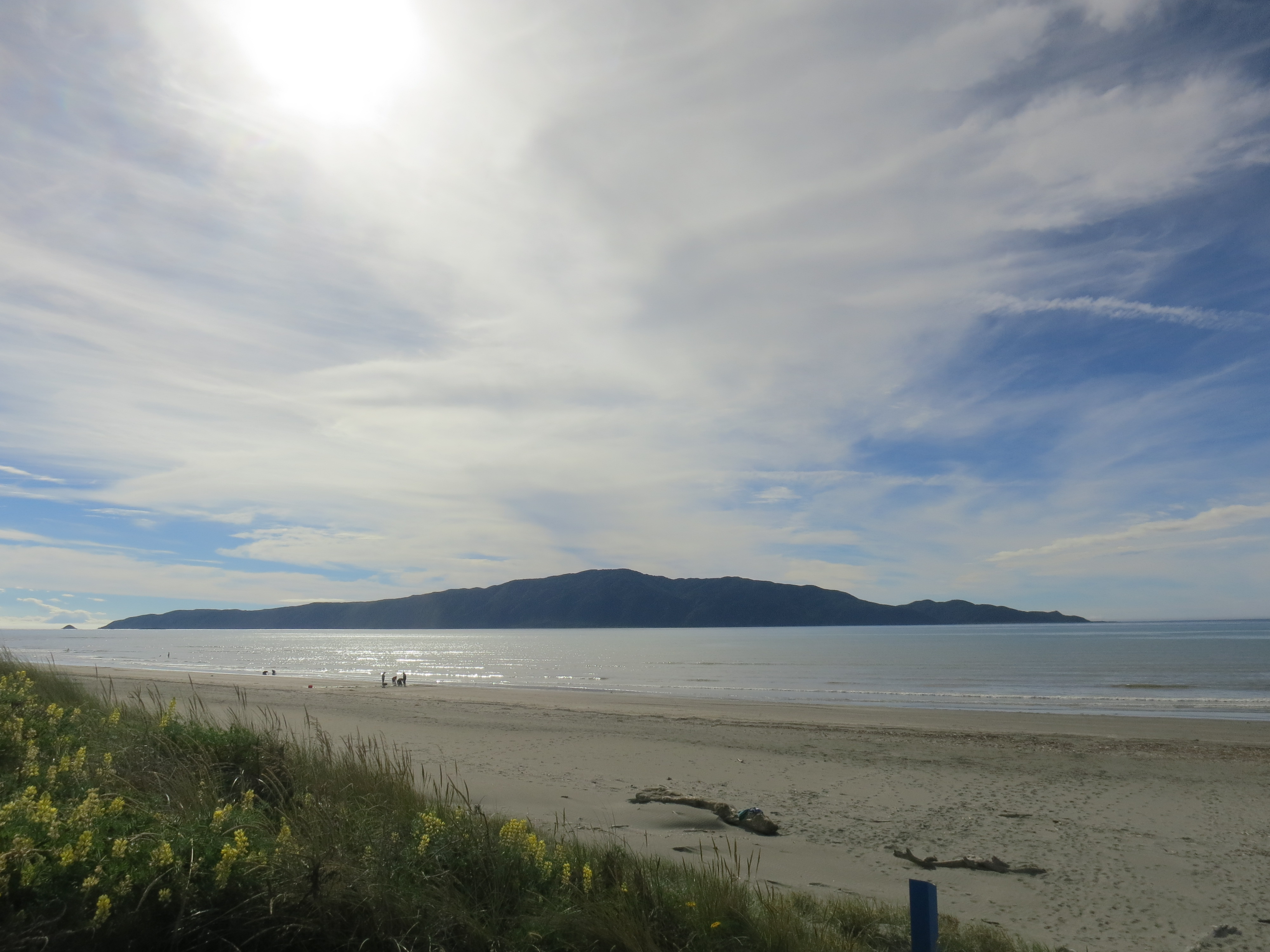
I started the day off at Jack’s Bay, where I threw a ball for an eager dog and chatted with his owner. The wind was picking up, lifting a whole layer of sand off the ground and hurrying it along to the other side of the bay. I carried on to the Owaka Teapot Gardens, which is actually the yard of someone’s home covered in teapots of all sizes and arranged in whimsical set-ups with garden gnomes and fairies. The next door neighbors know a good kitschy tourist attraction when they see one, and they set up Dollyworld, a doll and teddy bear museum. The entrepreneurial spirit is thriving in Owaka.
Morning at Jack’s Bay
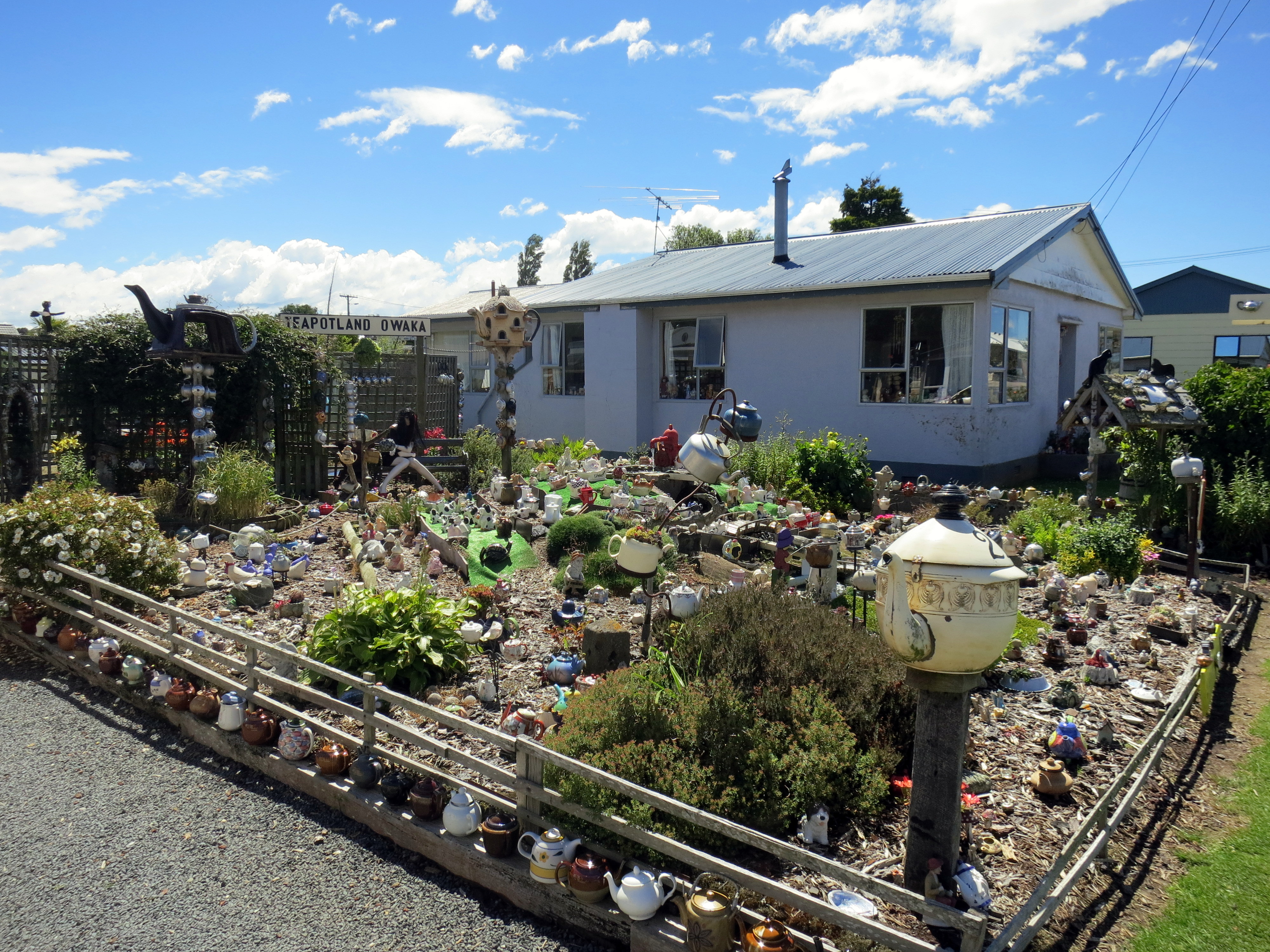
They even printed up a poem about Teapotland, which includes the lines, “In every cranny and nook/doesn’t matter where you look/Big ones, little ones, there is a teapot/Sorry, but they are all cold, not one is hot!”
I left the dolls and fairies behind for the natural world, and I spent the rest of my day falling ever more in love with this part of the world. It was a beautiful New Zealand day, which means I only had to wear my rain jacket half the time. It had rained heavily overnight, so the falls were gushing water mixed up with a bit of mud, rather than falling more prettily with clearer water. I liked it, though. Nothing like a roaring waterfall to remind you of the power of nature.
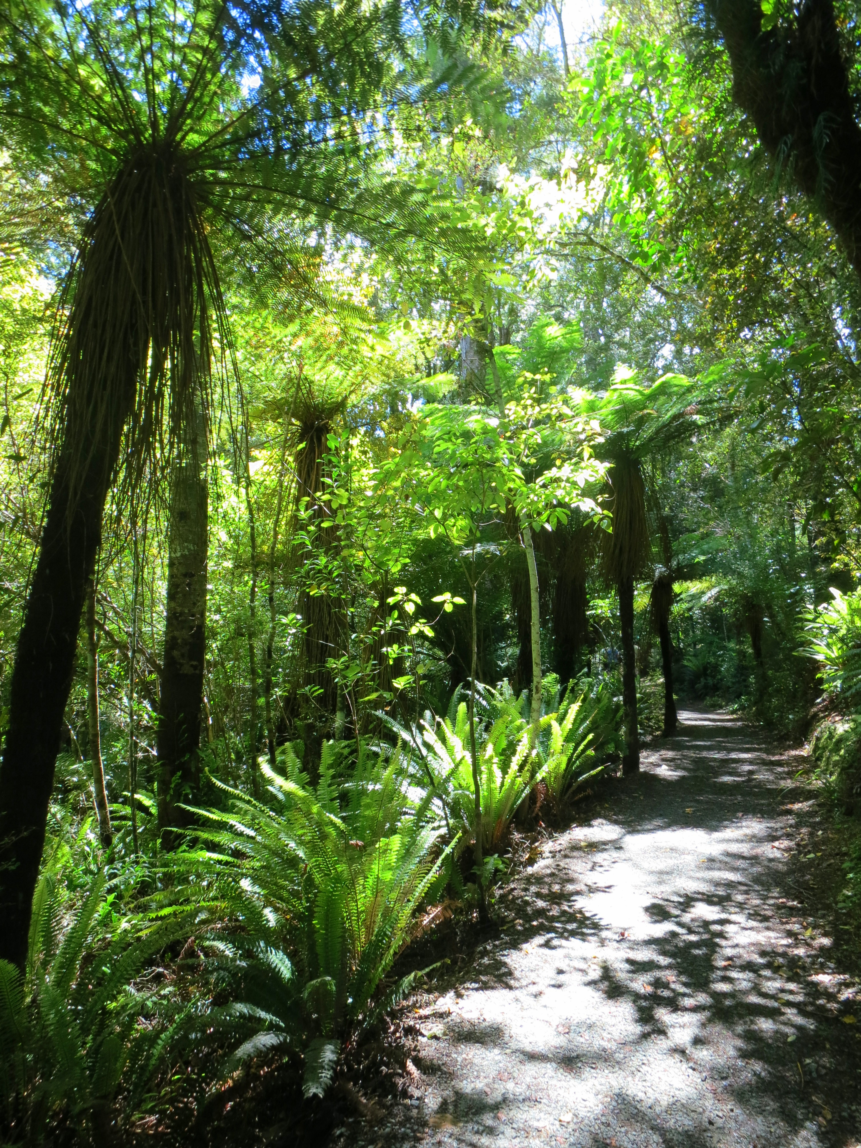
Purakaunui Falls is the most popular spot in the Catlins, and apparently the most photographed waterfalls in the country. It was an easy walk on the packed dirt path through the fern-feathered forest, across a small footbridge, and up and down a steeper track to the viewing area. I had the falls to myself for about two minutes, and then a small tour group came down, and a family with small kids, and I saw how popular the place was.

Purakaunui Falls
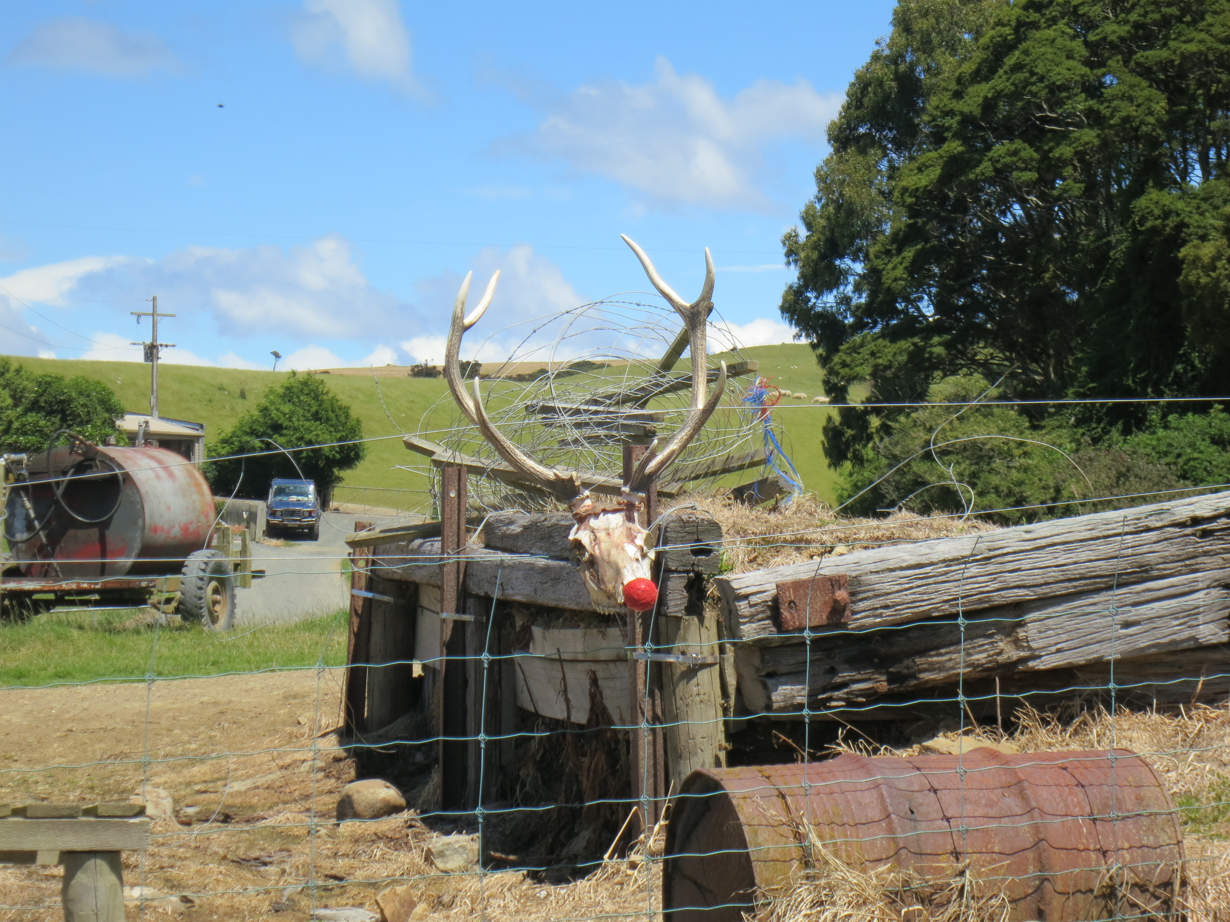
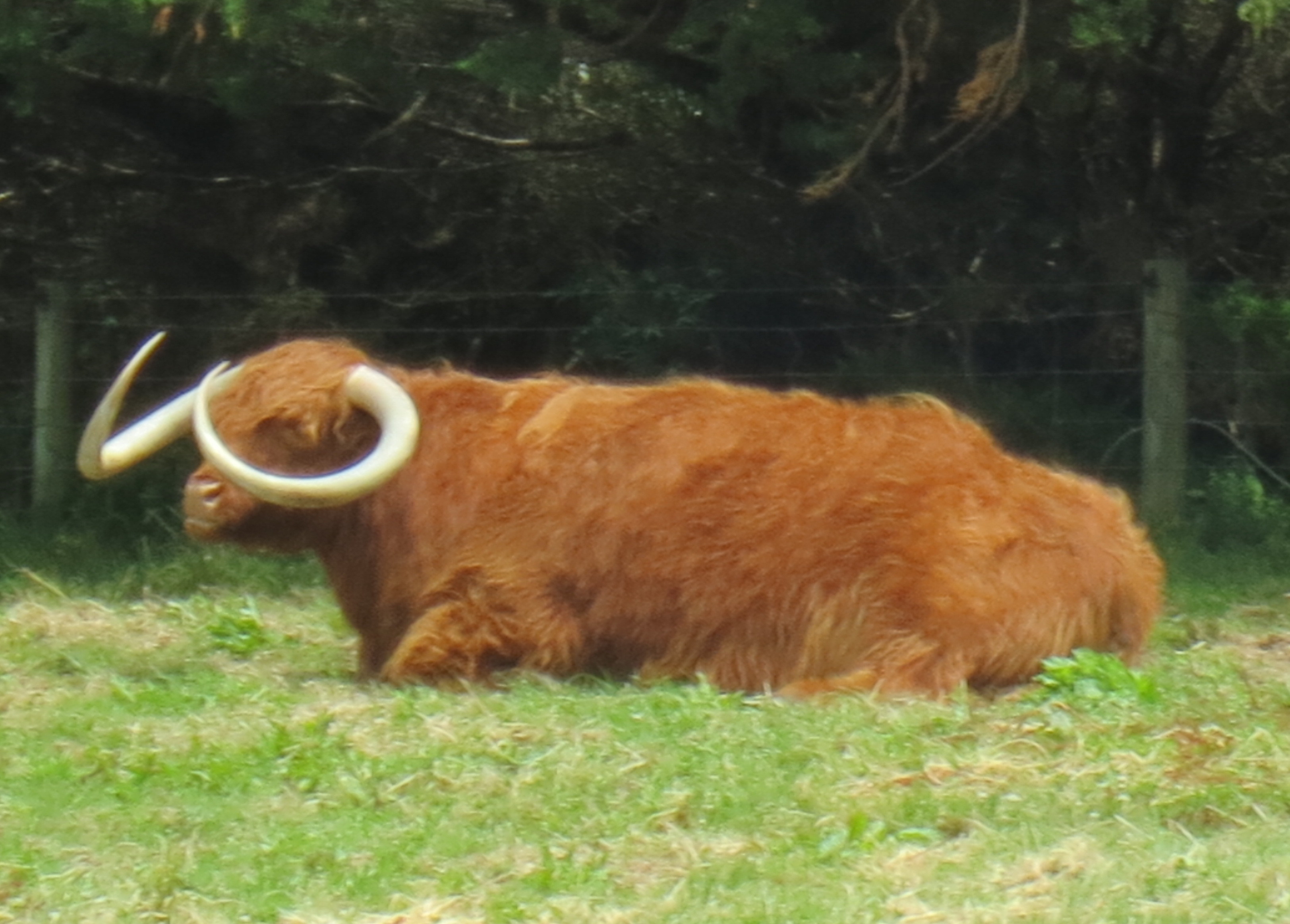
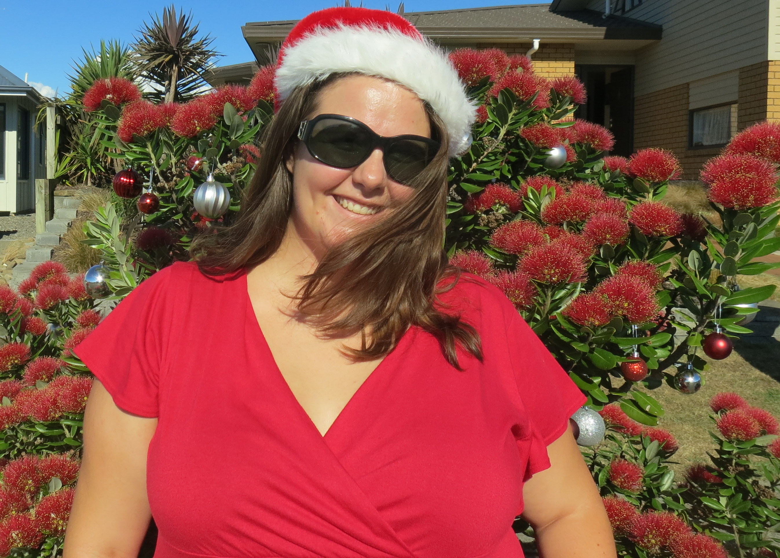
Poor Rudolph
The next stop had a one-two punch of Horseshoe Falls, and farther along that same river, Matai Falls. I only passed five other people on this trail, which suited me just fine, but the people who skipped this stop were missing out.

Horseshoe Falls
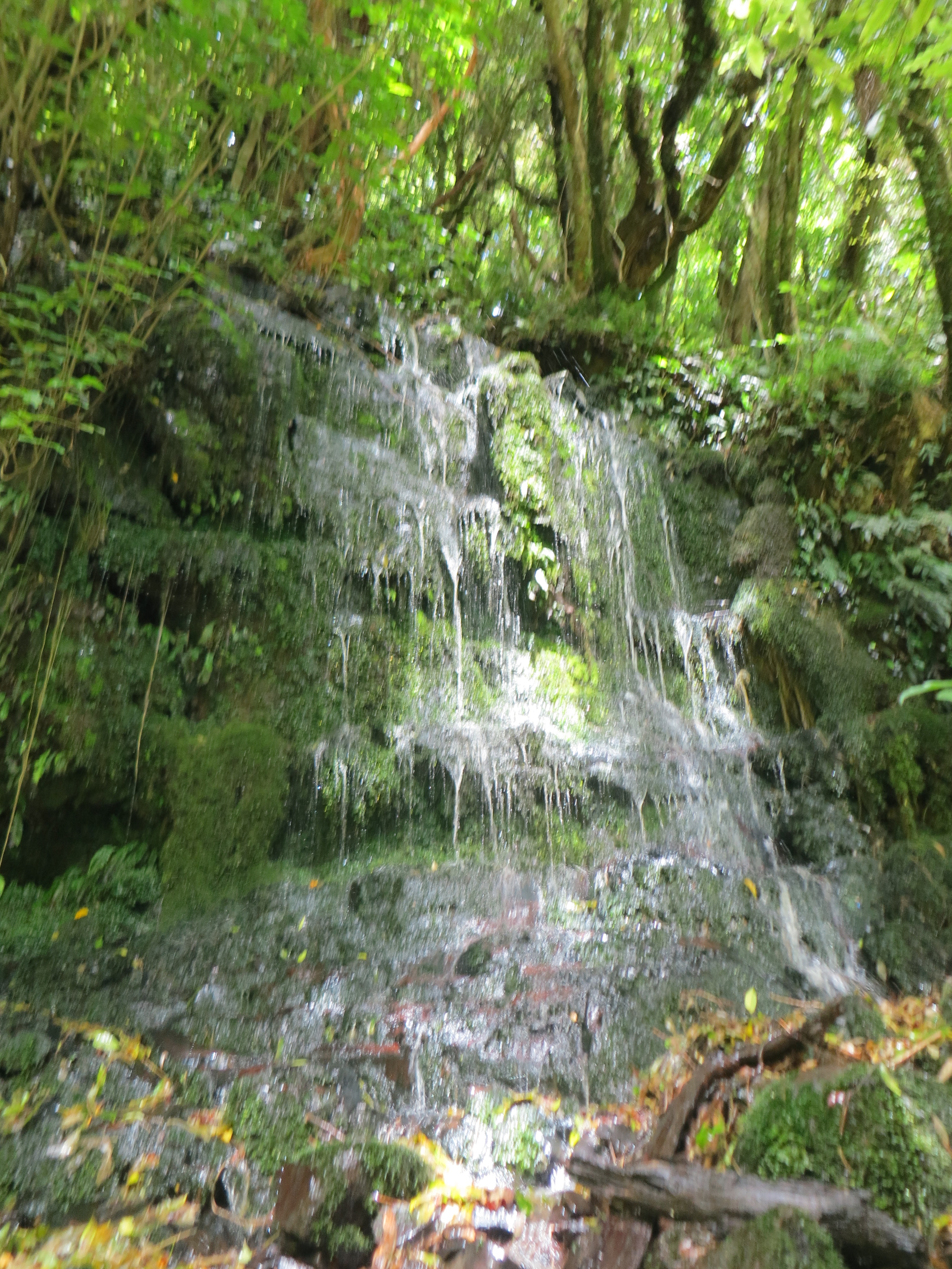
This patch of moss normally just drips, but with the heavy rains the night before, it was a mini waterfall itself.
Florence Hill Lookout was a well-signed spot, explaining the historical and ecological significance of the area. Some of the trees are over 1,000 years old, and in fact it’s the only place on the east coast of the South Island where native forest goes right down to the sea (instead of being interrupted by any of the many introduced species). This was a Maori fishing village, a Maori and Paheka whaling town, and the site of a sawmill before it became protected land.

One of the last native forests to reach the sea on the South Island
My penultimate stop for the day was McLean Falls, which involved a 30-minute walk, only 20 minutes of which could be described as leisurely. The last part of the walk was a steep climb up a switchback path, on uneven stairs made of stone and slippery packed dirt. But was it ever worth it!

Bliss
The McLean Falls were certainly the most impressive falls of the day. I sat on a rock a little to the right of the upper part of the falls and stared at them for about half an hour, mesmerized by the sights and sounds.

McLean Falls
The last falls of the day were Niagara Falls, and they barely qualify as falls at all, more like a hiccup in the river. But if my Catlins map is going to count them, then so will I. My favorite part of this stop was the sign that showed a photo of the more famous Niagara Falls, just in case you needed a comparison. Nice to see everyone has a good sense of humor about it.

Haha, good one, settlers
I spent the night at a farmstay/hostel at Slope Point. It was a working farm with a few small buildings of basic rooms for rent. I chatted with an Australian family and a French couple, and we all sat around the kitchen table listening to Van Morrison on my iPod while working on a jigsaw puzzle and eating dinner. The Aussies and French were keen hikers, so they told me about the big walks they’d been on that day, which sounded cool, but I wouldn’t have traded my day of waterfalls for anything.

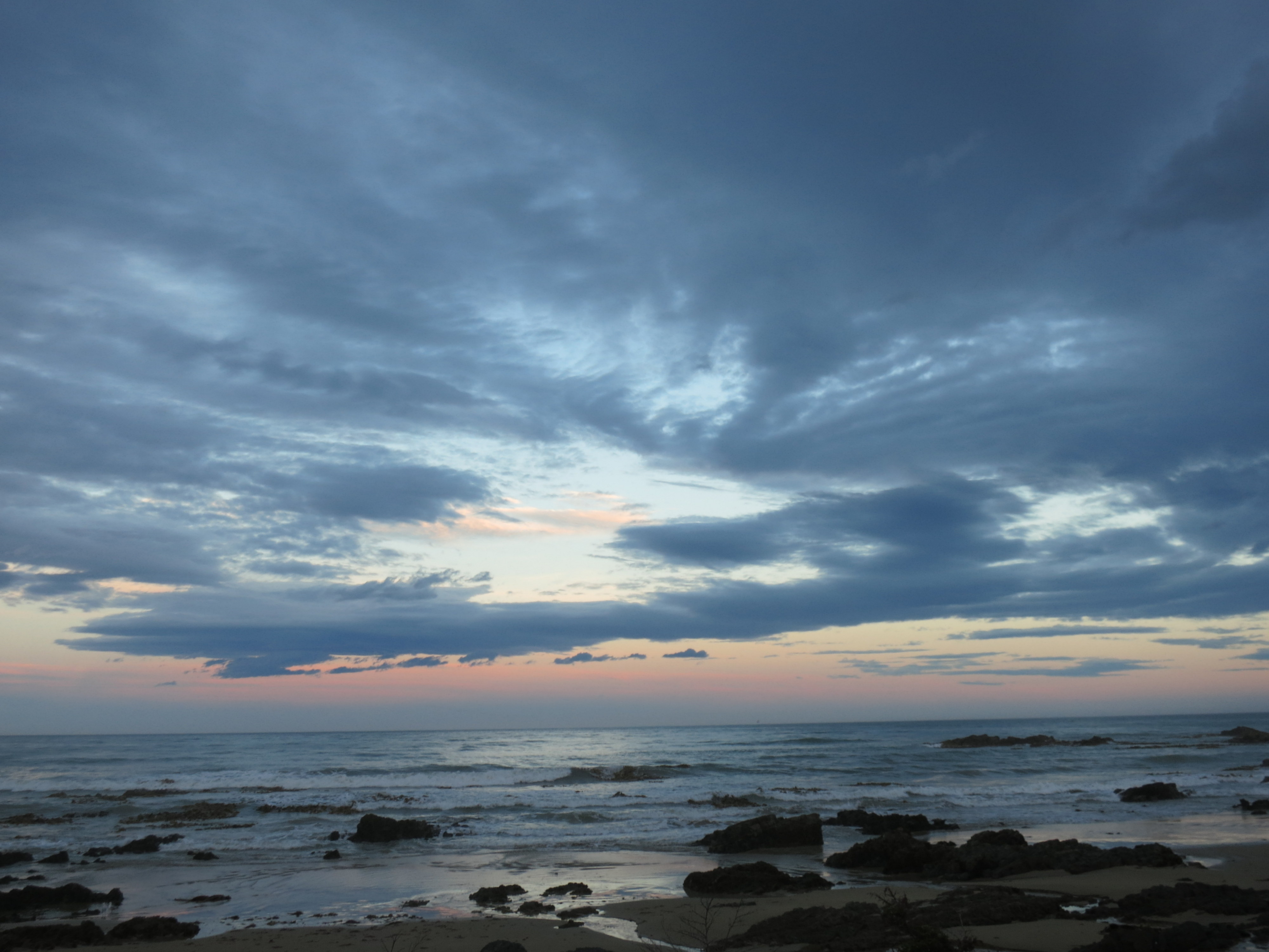
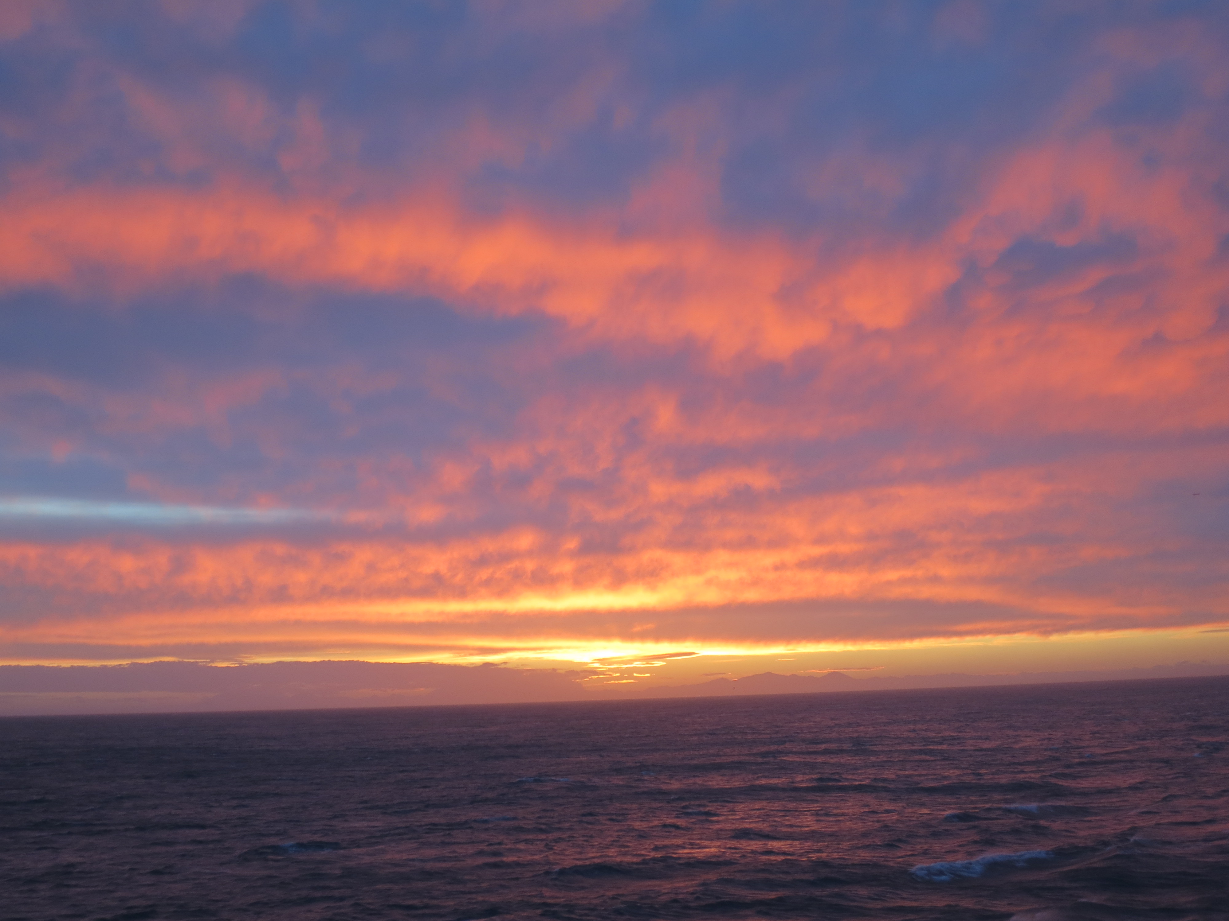
Sunset at Slope Point