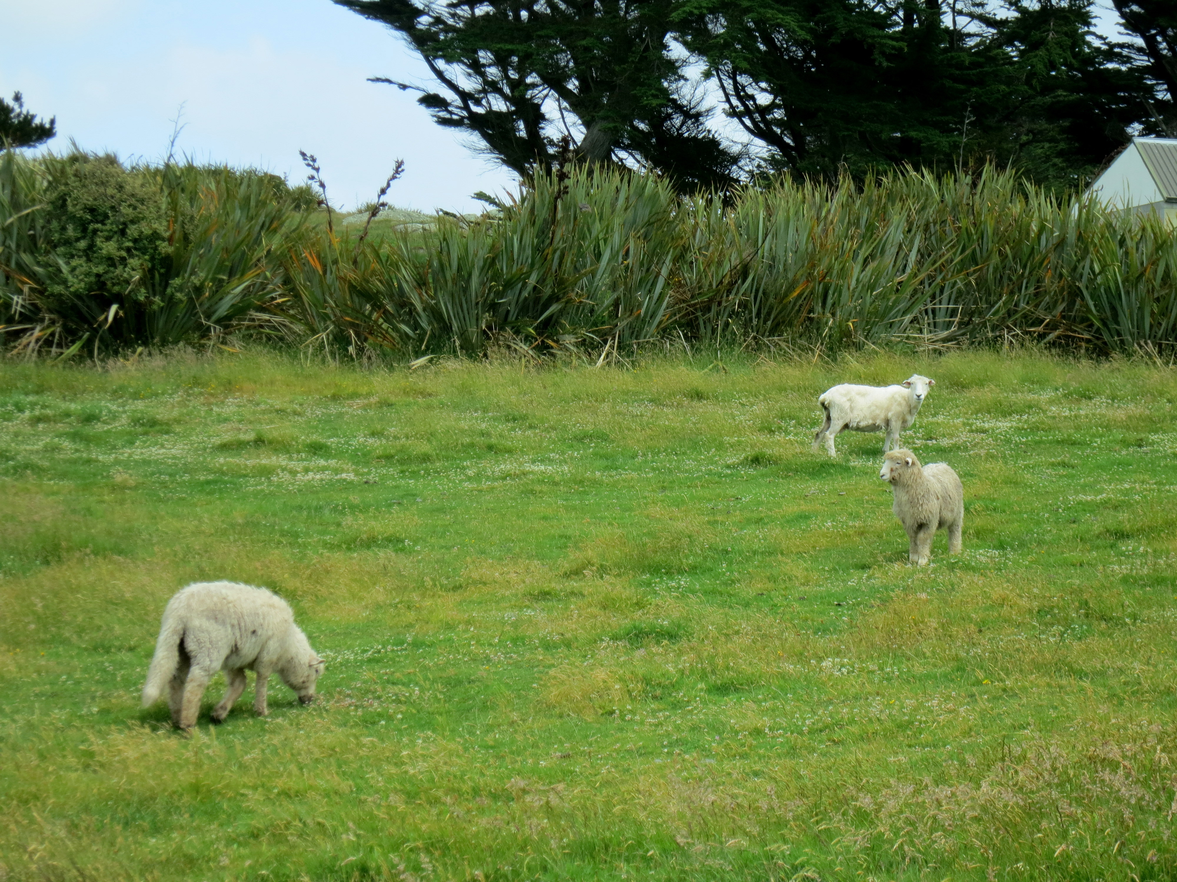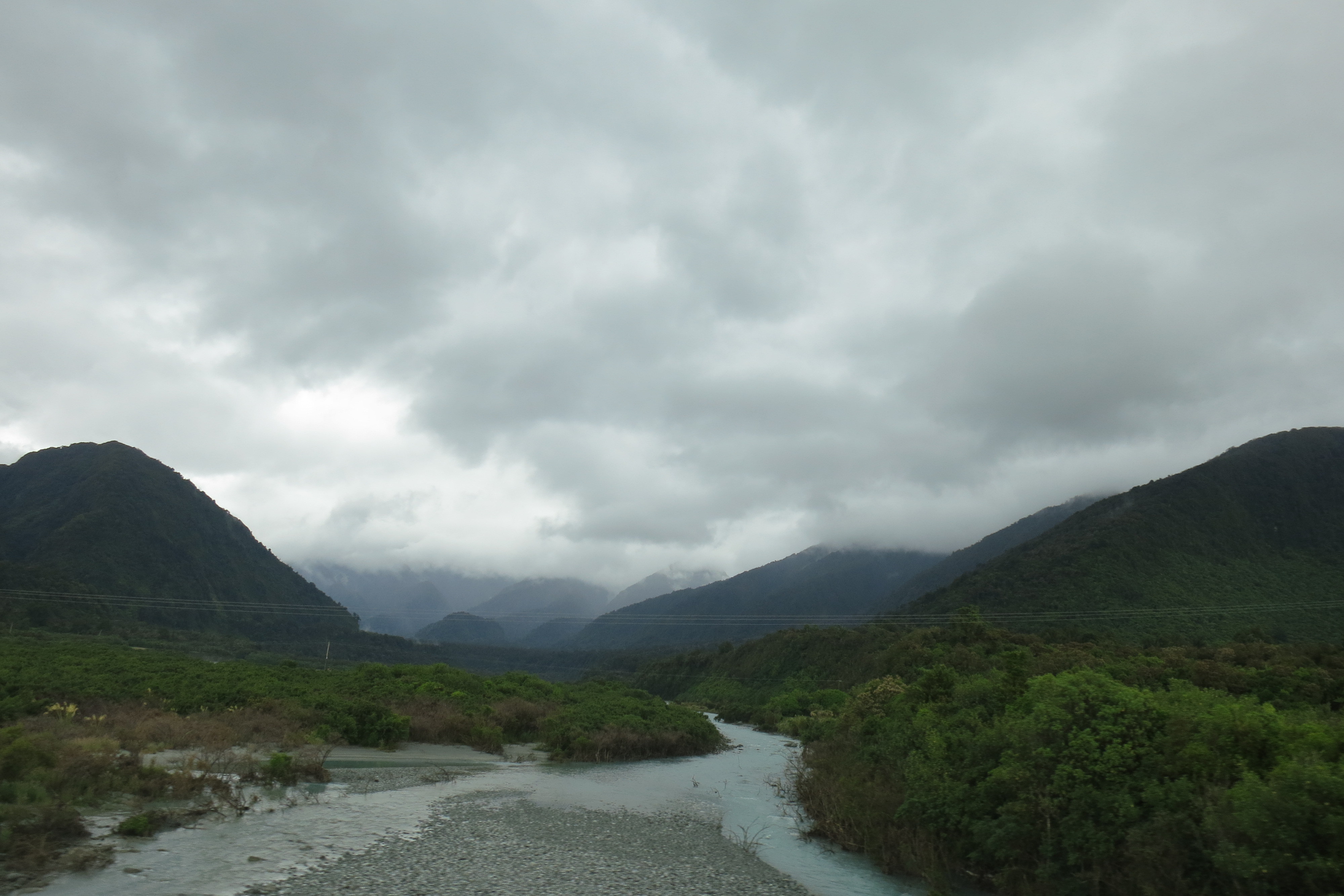
One of my favorite things about traveling in New Zealand was that, no matter how popular the tourist spot, it never felt truly overcrowded. Locals told me that tourism has been down in the last few years, ever since the economic crash, but it’s back on the upswing now. Still, you can visit the most stunning natural places without thousands of people jostling for space to get a good shot on their iPhones. Then there are places like the Catlins, in the southeastern part of the South Island, which are even less visited than Milford and Rotorua, and all the more beautiful for being quieter.

Spotted near Glencoe, on the drive east: A 1998 memorial of the Glencoe Massacre in Scotland–which happened in 1692. Now that’s what I call holding a grudge.
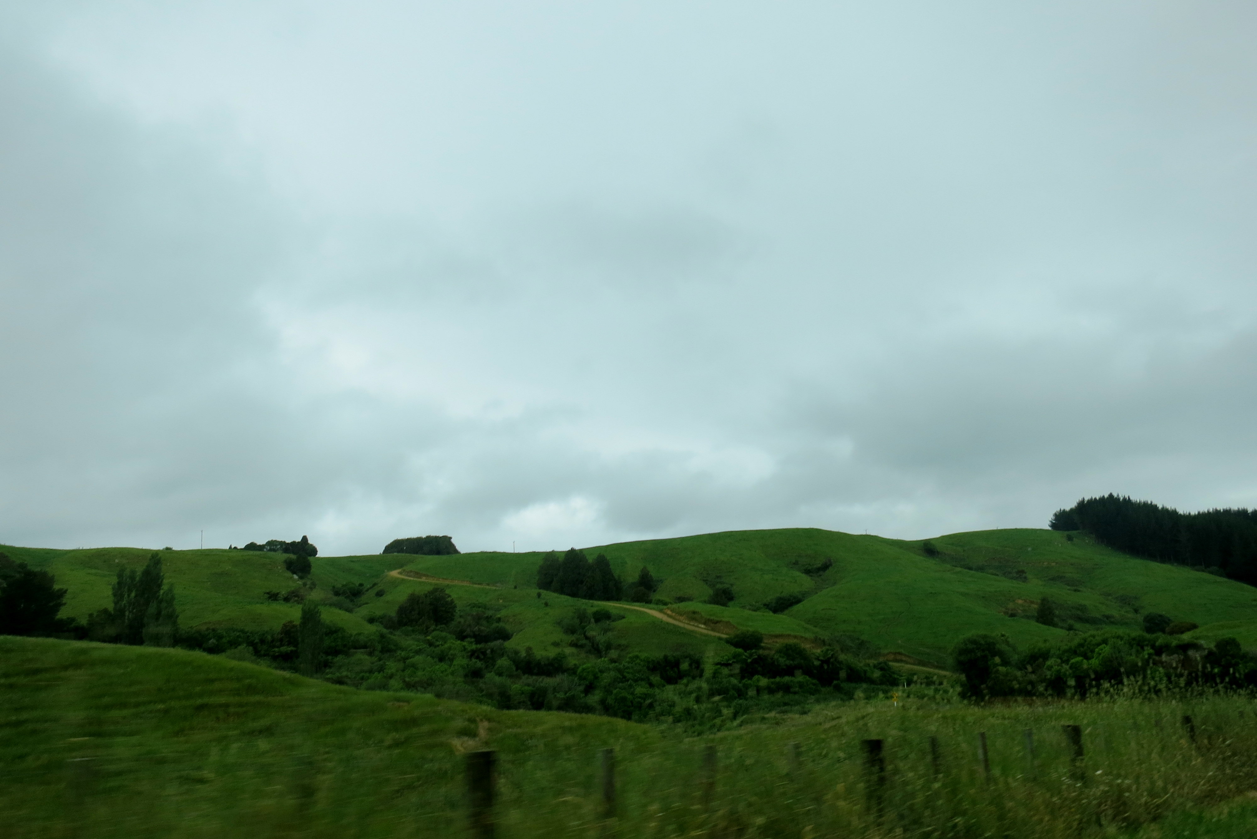
I drove through the empty farmlands of the Southland when crossing from west to east, and spent the night in Kaka Point, at a hostel set up on a hill over the small town. The tiny cabin I stayed in used to be a family summer retreat, and now the elderly woman who inherited it runs it as a hostel during the summer season. The decorations hadn’t been changed since the mid-1960s, and it was so similar to the cabins I’ve been to in northern Michigan that I expected my mom to come in at any moment to tell me to hurry up and get down to the lake.
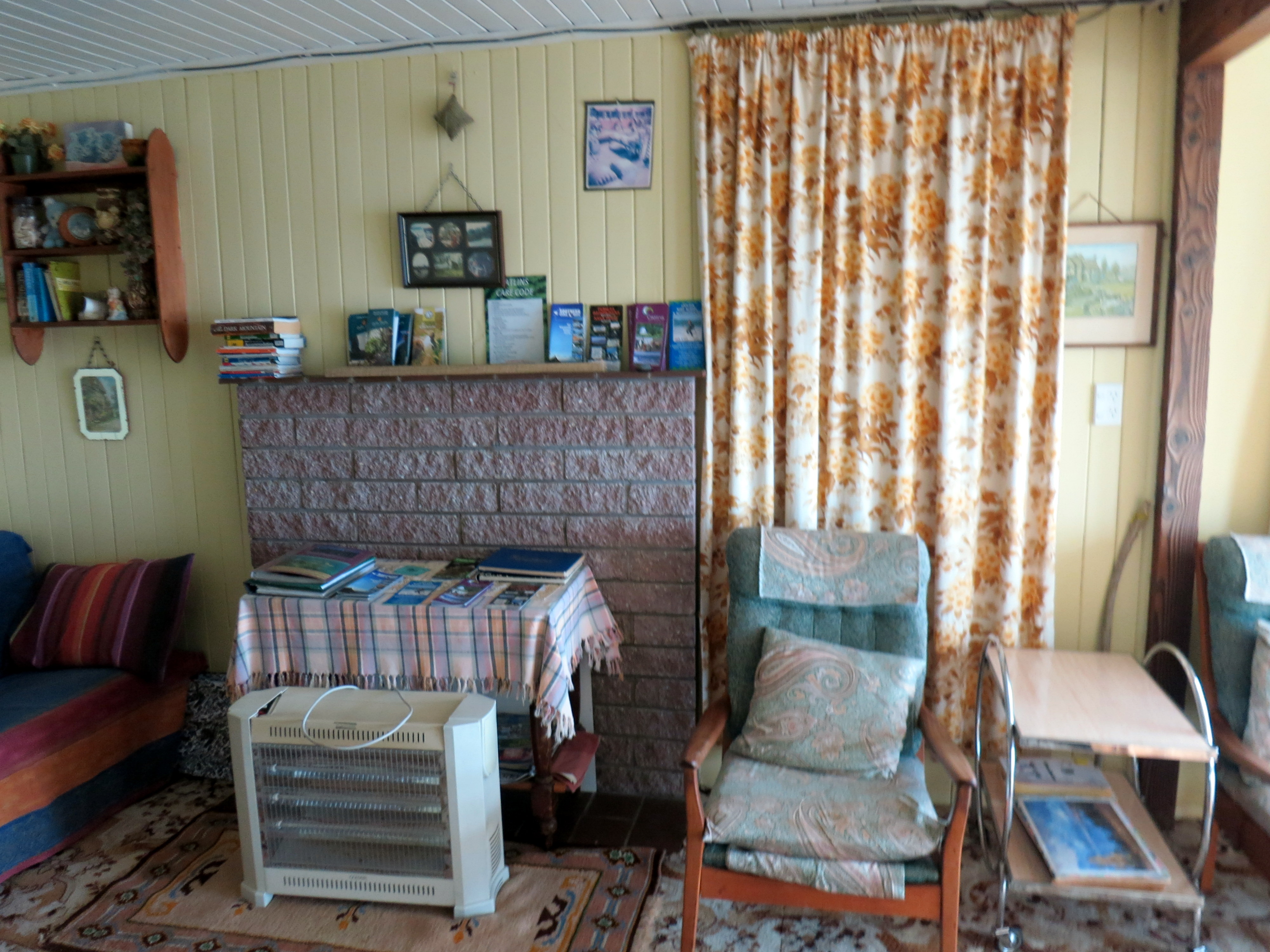
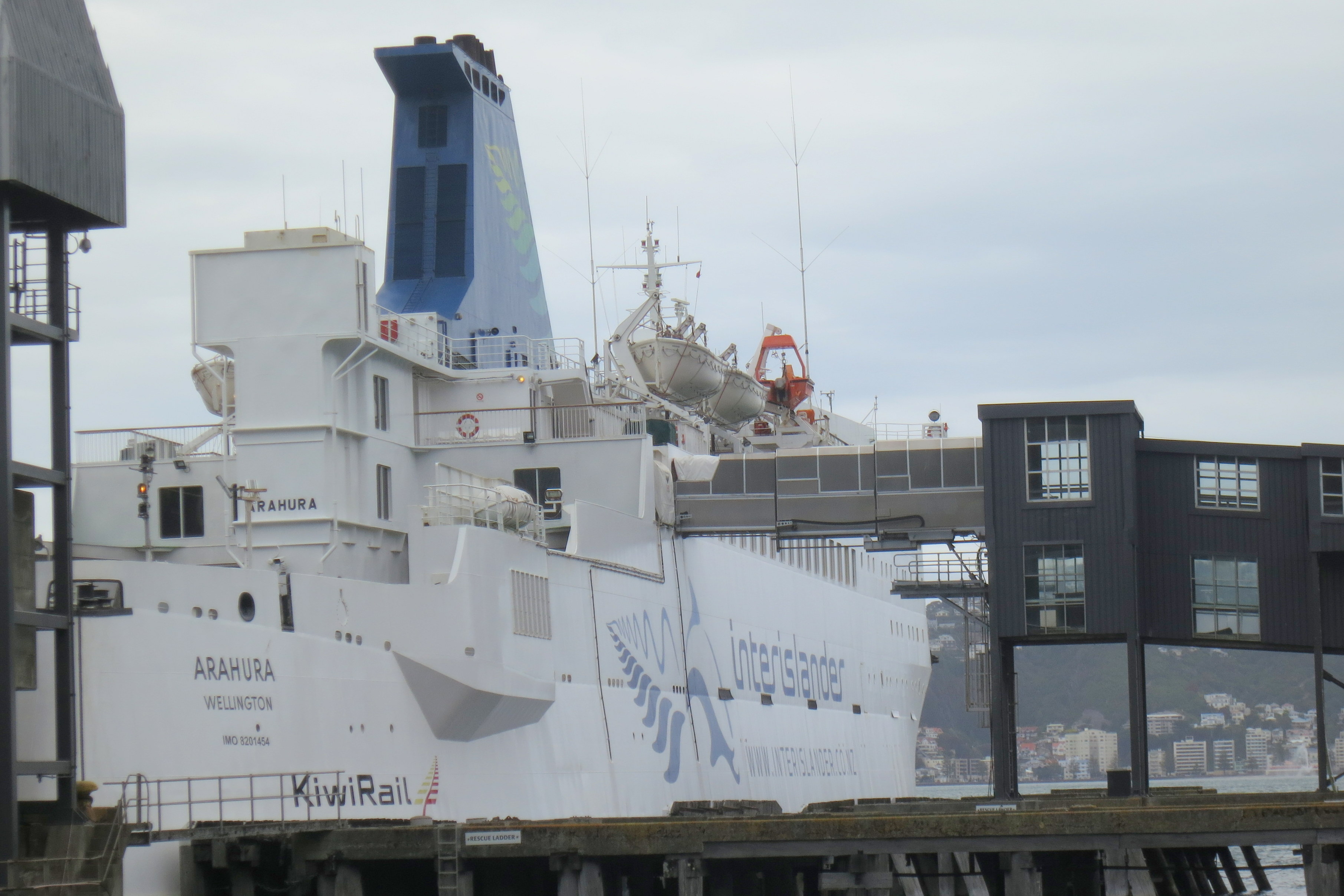
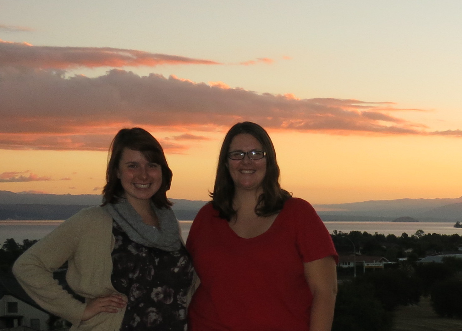
Stepping back in time for an evening at Fernlea Backpackers
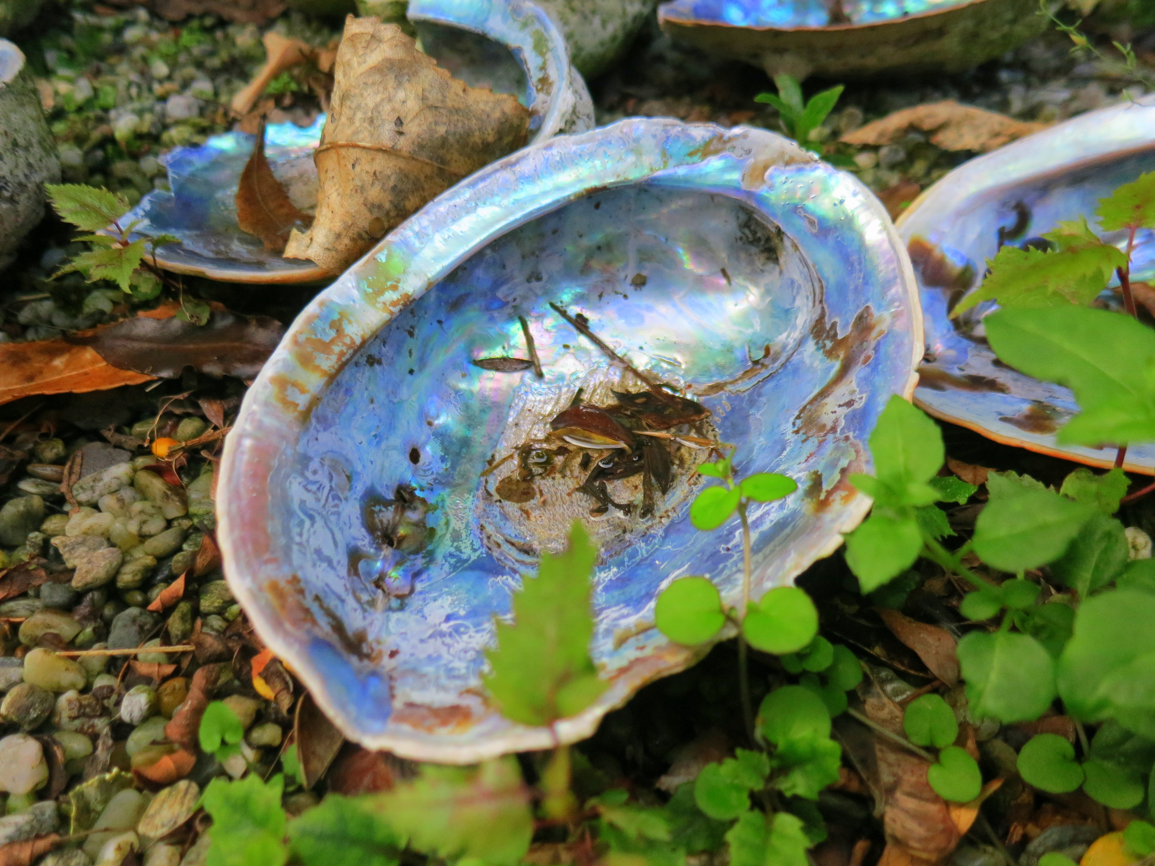
Paua shells are commonly found on the Otago coast–pretty, aren’t they?
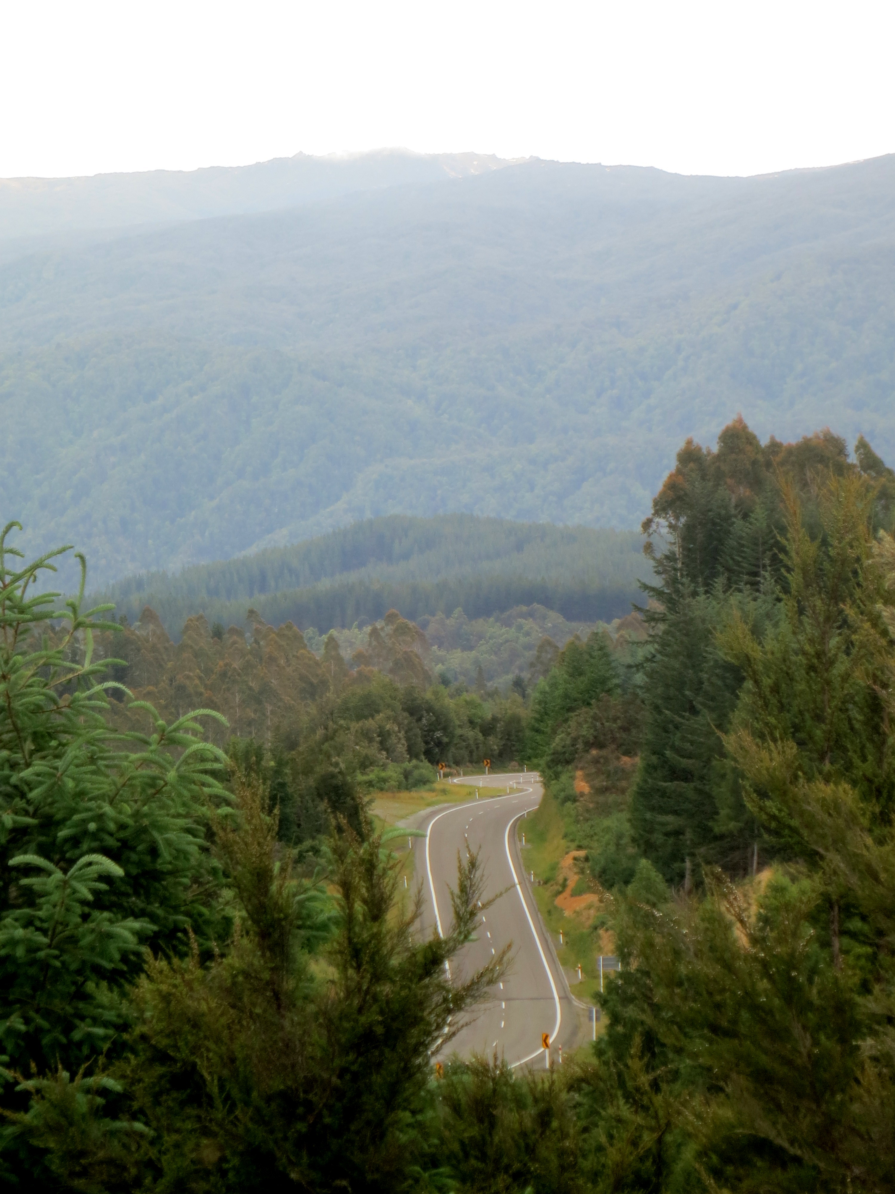
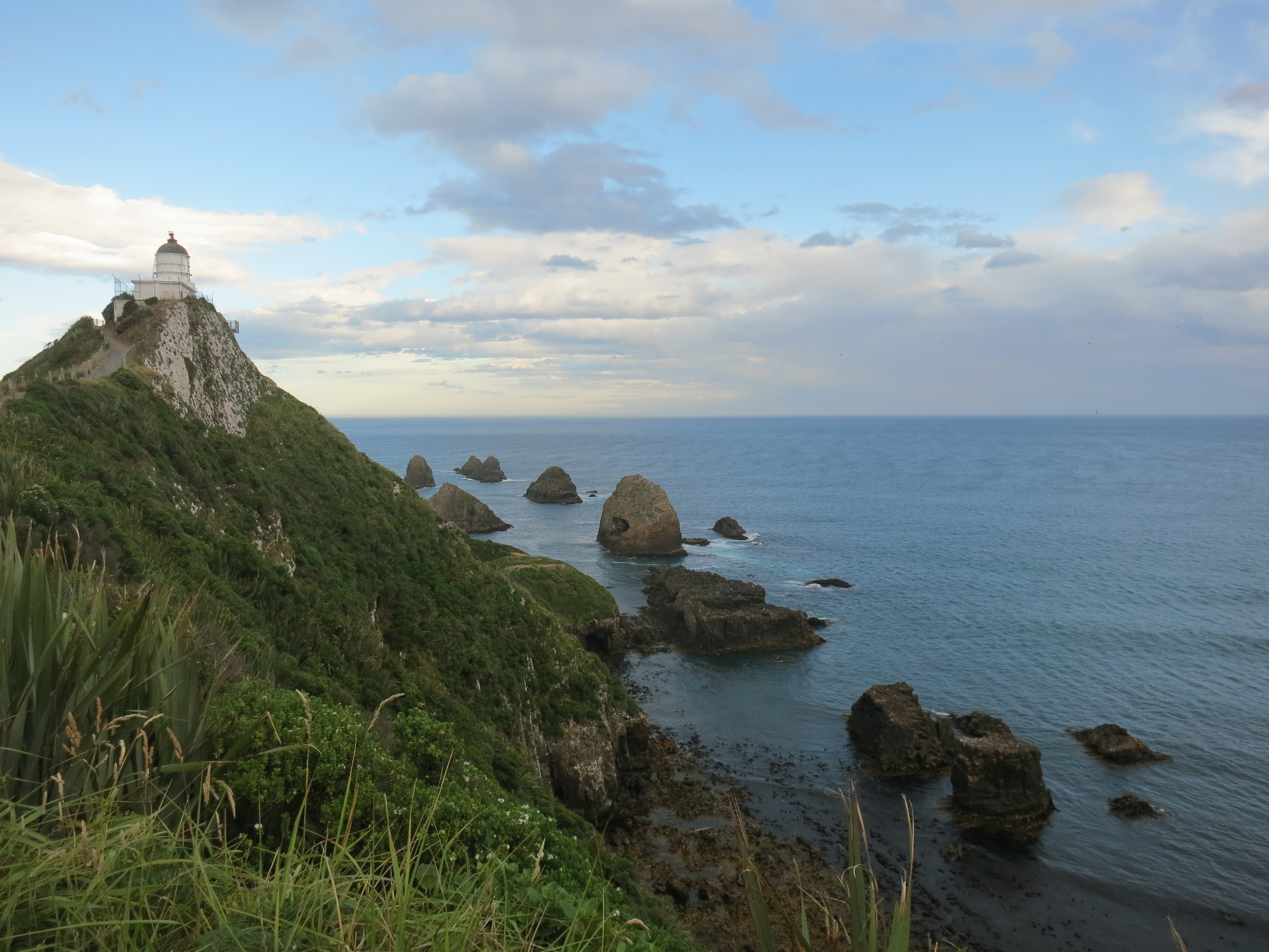
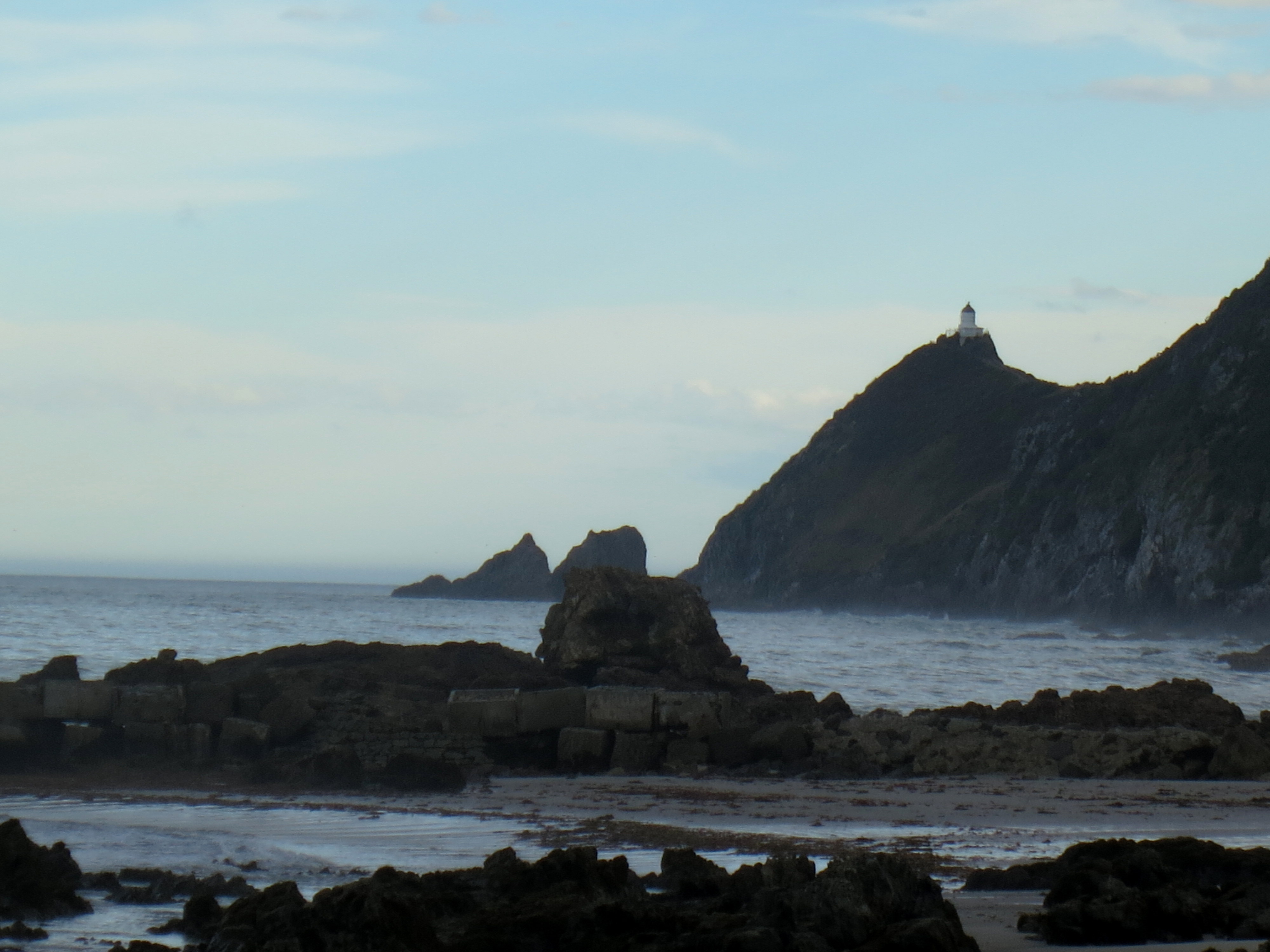
I hurried up and drove to Nugget Point before sunset. After navigating more jaw-clenching unsealed roads, I arrived at the parking lot. The skies were threatening rain again, but what else was new, so I put my raincoat on and started the walk out to the lighthouse. Naturally, it started to rain, so I moved a little faster, but not too much, since there’s no guardrail here and a steep drop to the rocks below. I only passed three people on my walk out to the lighthouse, and just four on the way back; I loved admiring the scenery in total peace and solitude.
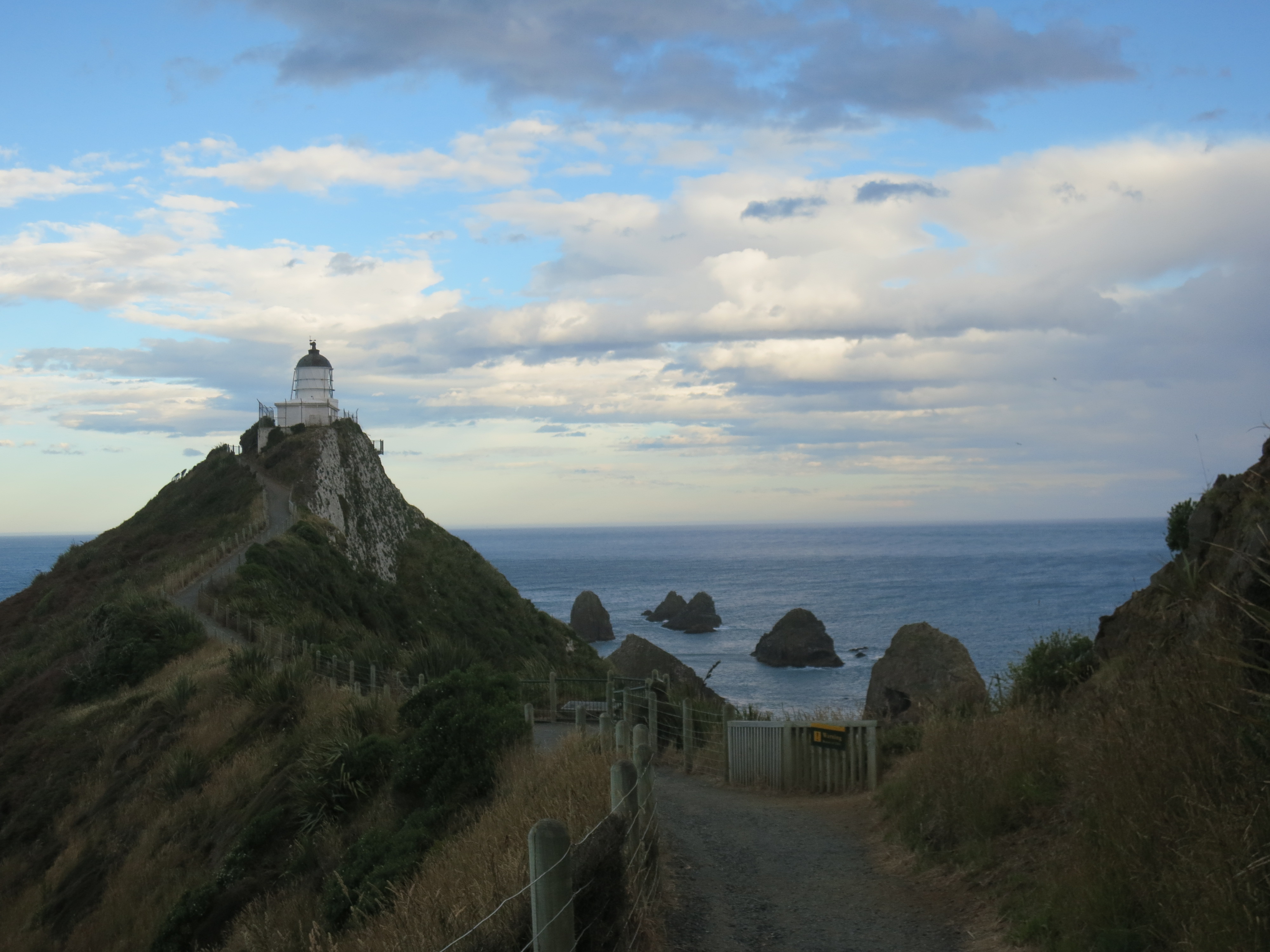
Nugget Point Lighthouse
The rain stopped after about 10 minutes, and in another 10 I was at the lighthouse, a standard white structure built in 1870 and automated in the late 1980s. Just beyond the lighthouse lie the rocks that give the point its name. I believe these are just tiny rock islands, and not rock stacks formed by crumbling arches, like those at the Twelve Apostles.

Plaques of ridiculous poetry lined the walk out there
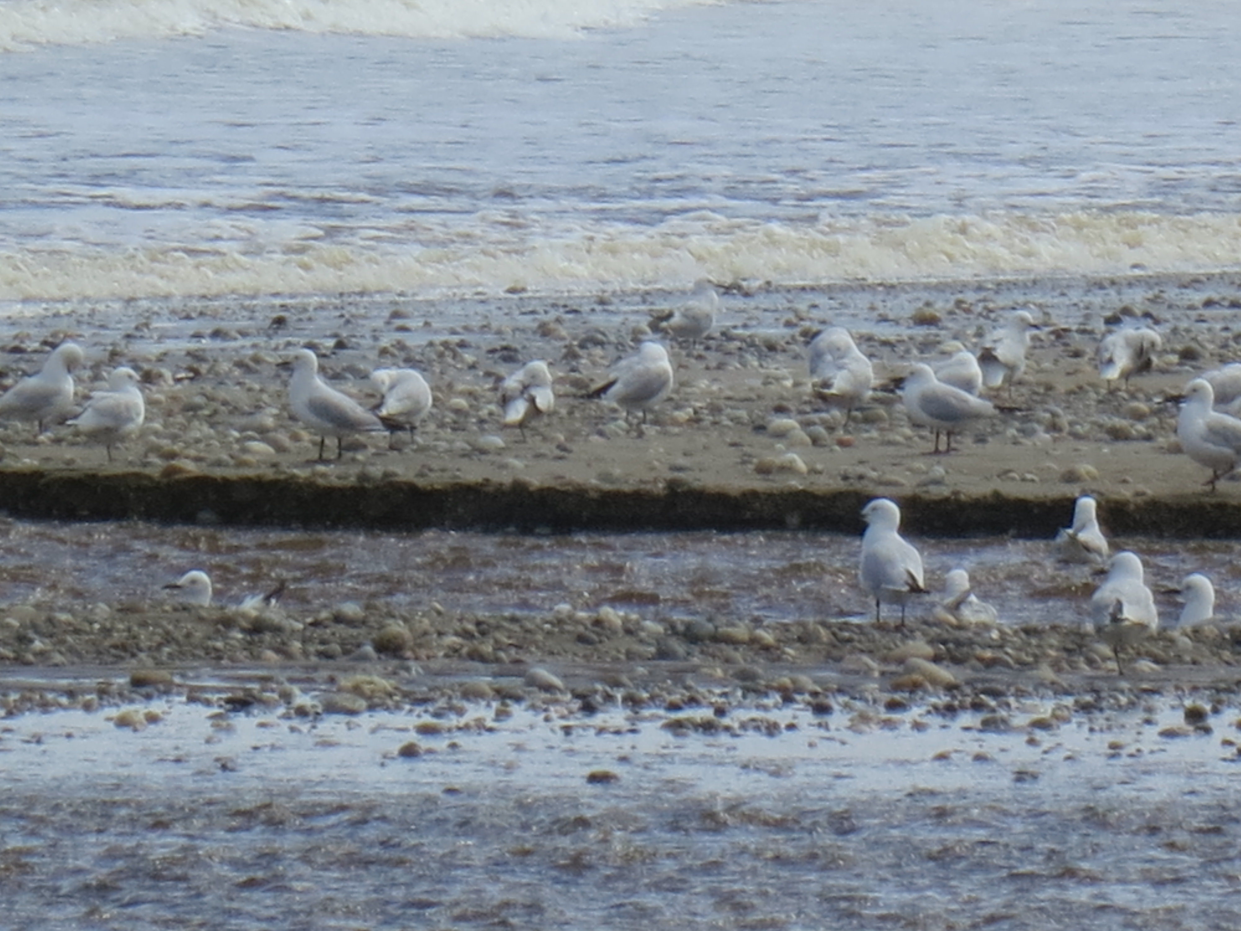
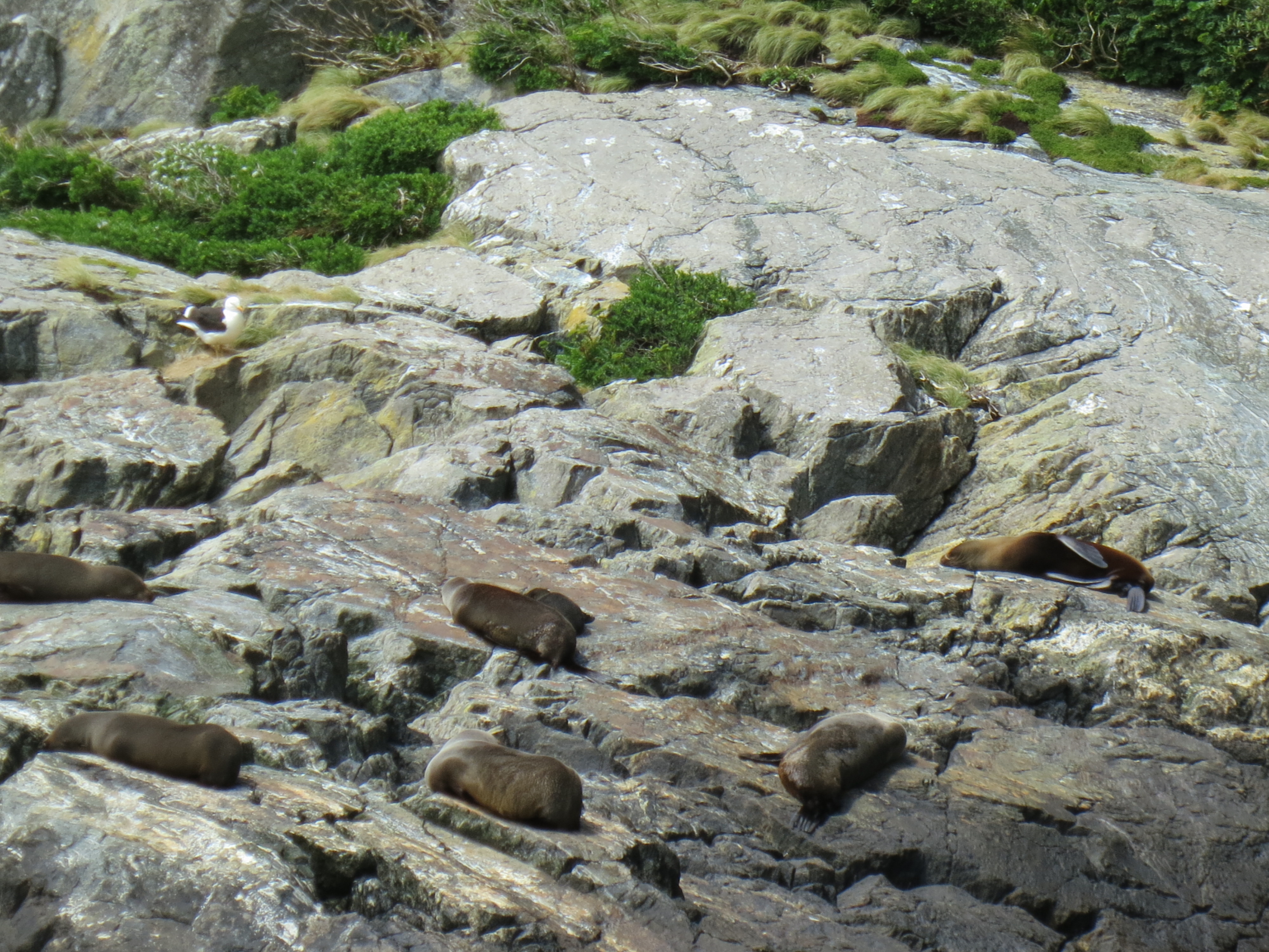
I watched seagulls swoop and dive, and noted the chalky white cliffs that reminded me a little of Dover. On my walk back, I realized that the screaming I was hearing wasn’t the screeching of a seagull; it was a different kind of piercing sound. I looked down the cliffs and saw fur seals on the rocks below! One was making an awful racket while a couple others splashed around in a little pool formed by the tide. I’d read that fur seals like to spend time around here, but I never expected to find them by their call. (Important note: These might actually be sea lions. I have no idea how to tell them apart, and apparently they both make screaming noises, and both can be found at Nugget Point. If you can tell from the photo what I’m looking at, let me know!)

Fur seals frolicking after a long day at sea
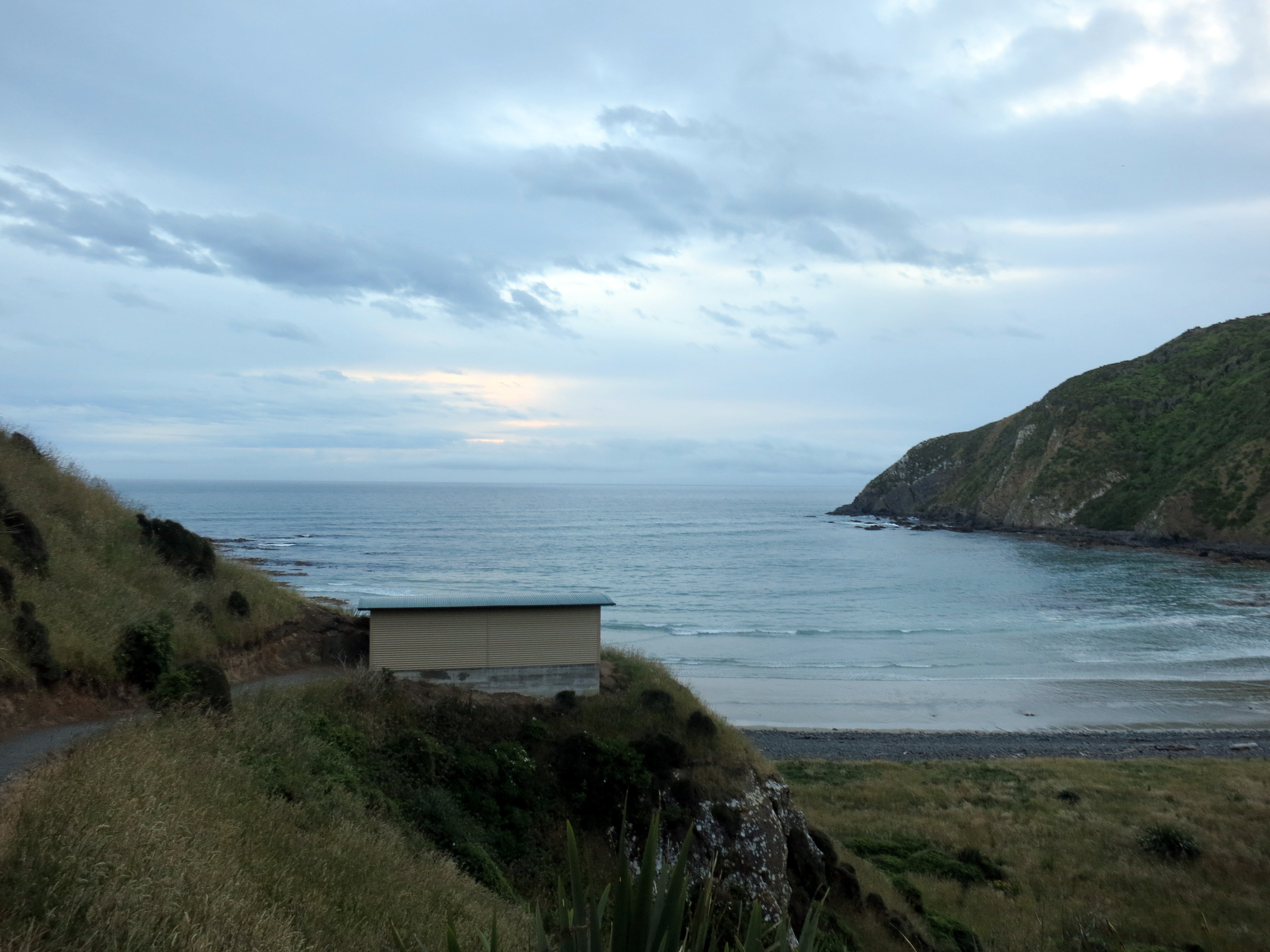
I drove just a short way down the road to another parking bay, and walked down the steep path to Roaring Bay. It was a lovely spot for the beginning of the sunset. To the left, the Department of Conservation (DOC) had built a viewing structure so that you can watch the famous yellow-eyed penguins without disturbing them–they’re nervous creatures. Some idiots still climbed outside the structure and leaned over to flash their cameras at the penguins, of course, but mostly people stayed in the little bunker and watched from a distance.

Yellow-eyed penguins coming in for the night (with a seagull in the middle)
I’d seen one penguin waddling up from the ocean when I was farther up on the path, and I’d rushed to take super-zoomed photos before he disappeared. I needn’t have worried, though. He was still there when I got to the viewing structure, and he was still there when I left half an hour later. He was a preener, that penguin. He waddled a few feet, stopped, combed his left side with his beak, shook his head, combed his right side with his beak, flapped his wings a little, reached around to get his back with his beak. Repeat. It was funny to watch, and a little mesmerizing. He was a fine looking fellow, and maybe deserved to preen a bit.

Worthy preener
(I have no idea what the sex of the penguin was. Also, I know that they need to proceed up the beach very cautiously, as this one was doing, in order to be aware of predators lurking in the rocks.)
The viewing bunker at Roaring Bay
I saw another penguin on the sand at a little distance from the first, and when I asked the couple next to me if they saw any more, they pointed out another one huddling in the rocks. I also spotted a lone fur seal up the beach; whether it was contemplating penguin dinner or just enjoying the sunset, I don’t know.
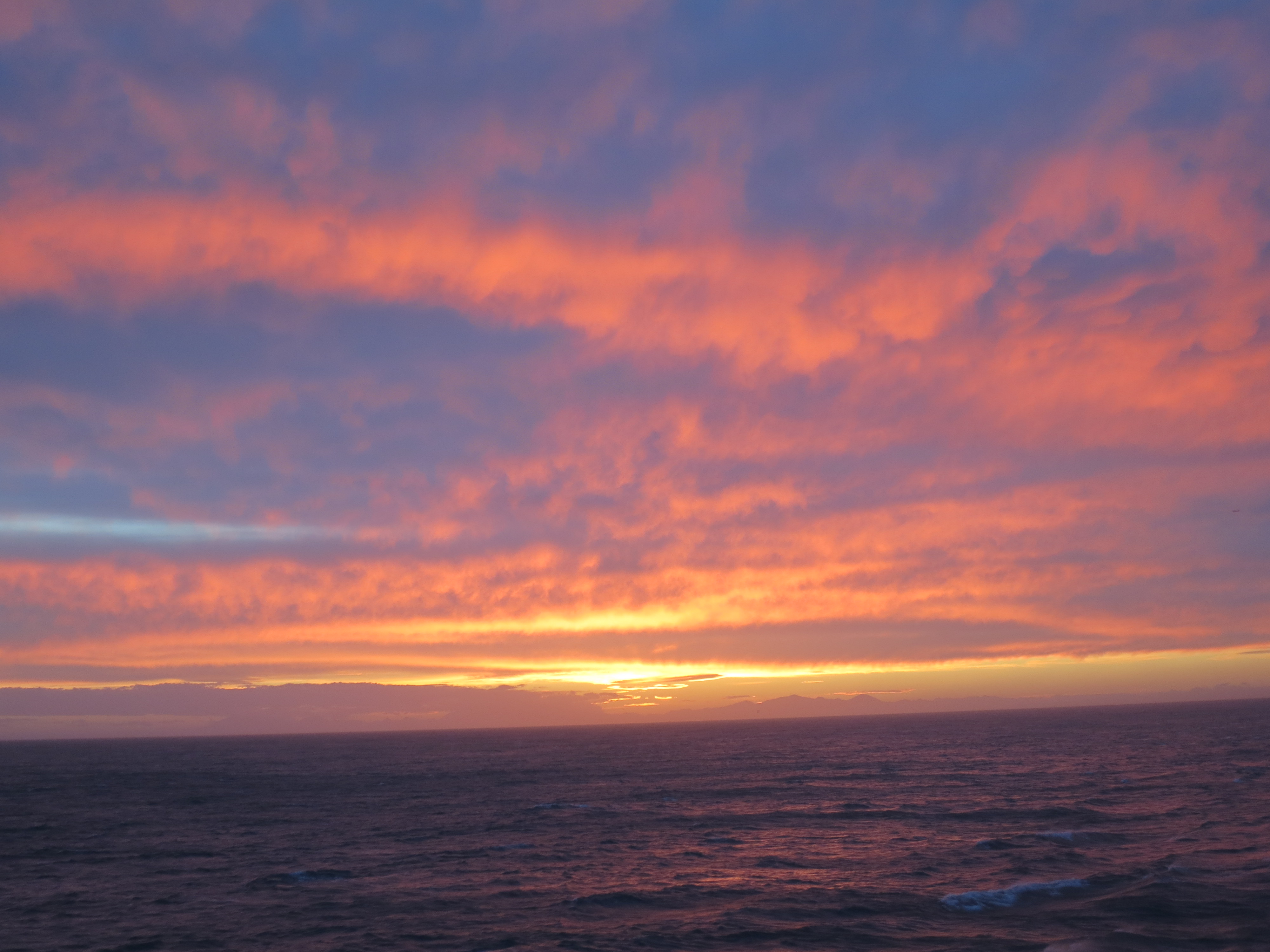
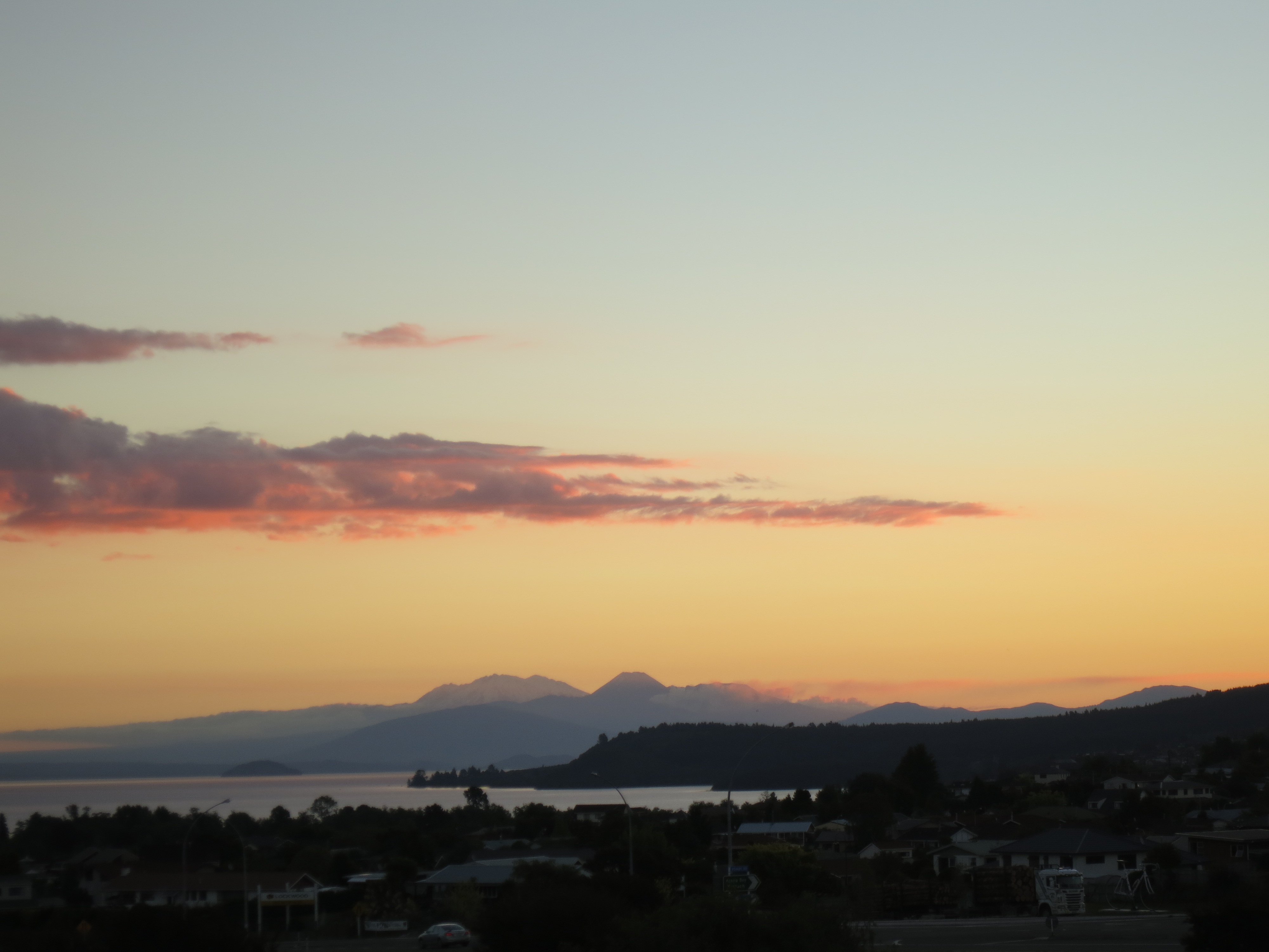
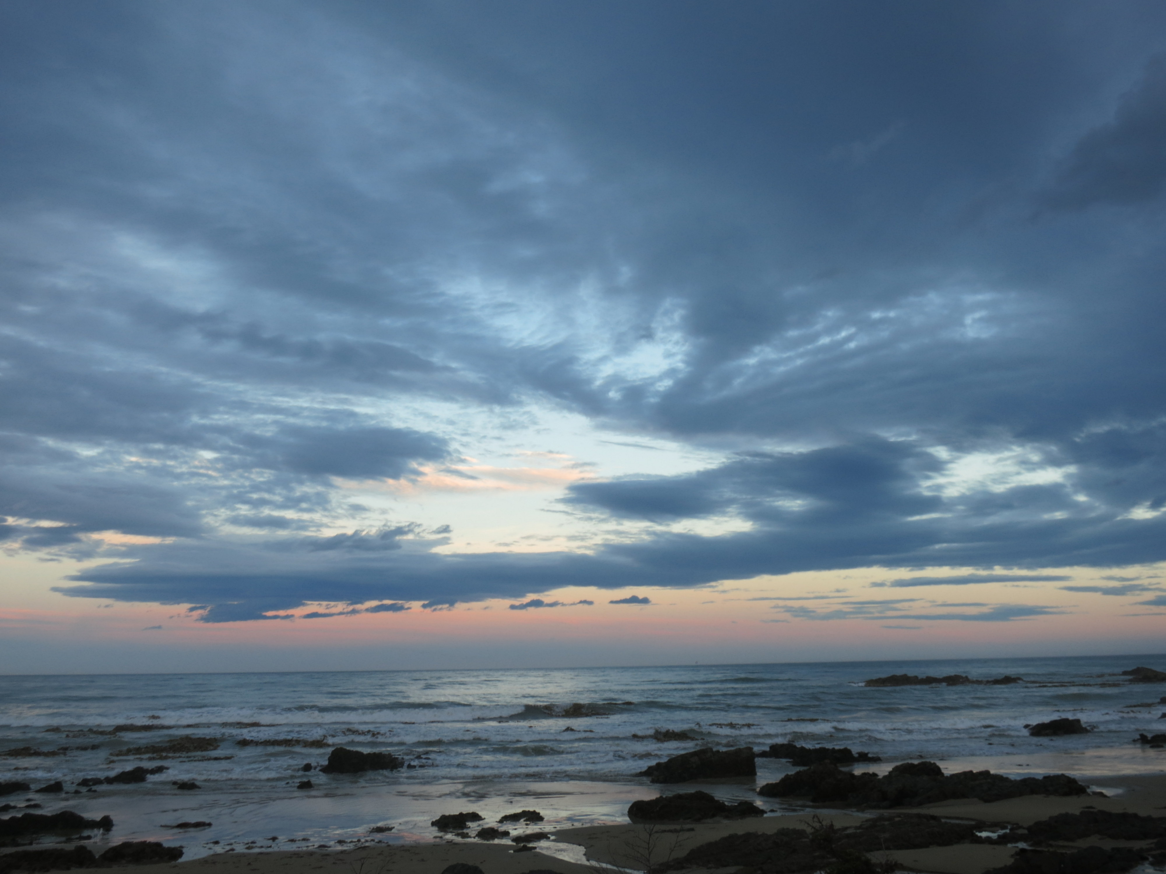
 I didn’t want to drive that gravel road in the dark, so I started back, and watched the sky turn gorgeous colors out the passenger side as I drove. I had a quiet night in before seeing more natural splendor the next day.
Good night